Zastávky v okolí
Gaweinstal Hauptplatz ¤,
Gaweinstal Hauptplatz ¤,
Gaweinstal Gemeindeamt ¤,
Gaweinstal Gemeindeamt ¤,
Gaweinstal Martinsdorferstraße ¤,
Gaweinstal Martinsdorferstraße ¤,
Gaweinstal Brünner Straße ¤,
Gaweinstal Brünner Straße ¤,
Gaweinstal Volksschule ¤,
Gaweinstal Volksschule ¤,
Gaweinstal Wiener Straße ¤,
Gaweinstal Wiener Straße ¤MHD v okolí
Bus 571: Gaweinstal Hauptplatz = > Pellendorf Feuerwehr = > Martinsdorf Winzerstraße = > Gaweinstal Hauptplatz ¤,
Bus 535: Gänserndorf Bahnhof = > Mistelbach Bahnhof ¤,
Bus 500: Wien Floridsdorf = > Mistelbach Bahnhof ¤,
Bus 150: Bernhardsthal Bahnhof = > Wien Floridsdorf ¤,
Bus 571: Mistelbach Alleegasse = > Martinsdorf Winzerstraße ¤,
Bus 571: Gaweinstal Hauptplatz = > Mistelbach Bahnhof ¤,
Bus 571: Pellendorf Feuerwehr = > Martinsdorf Winzerstraße = > Gaweinstal Volksschule ¤,
Bus 535: Gänserndorf Bahnhof = > Mistelbach Bahnhof ¤,
Bus 571: Gaweinstal Volksschule = > Martinsdorf Winzerstraße (via Schrick) ¤,
Bus 150: Wien Floridsdorf = > Bernhardsthal Bahnhof ¤,
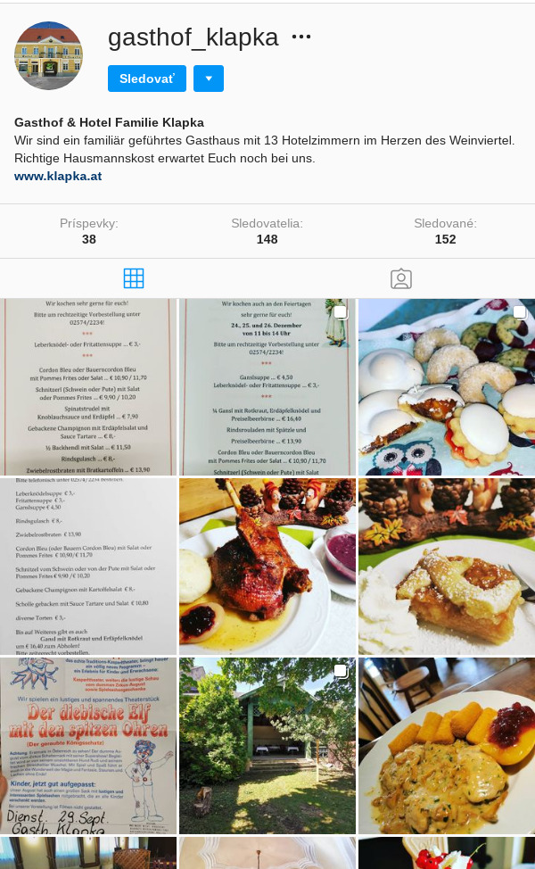
Bus 571: Gaweinstal Hauptplatz = > Mistelbach Bahnhof (via Mistelbach Alleegasse) ¤ www.klapka.at: Gasthof Hotel Fam. Klapka Unser Gasthof liegt im Herzen des Weinviertels. Wir verfügen über 13 gemütliche Zimmer, einen Saal für Feiern bis zu 150 Personen, einen Schanigarten mit Spielplatz zum Verweilen und es wartet das beste Gulasch weit und breit.
Instagram @gasthof_klapka

Viac o bode
Viac info:
aktualizovať mapu,
uprav v JOSM (pokročilé),
365905447,
stiahni GPX,
wikidata, hotel, website: http://www.klapka.at, alt name: Klapka, building: yes, heritage: 2, addr:city: Gaweinstal, addr:street: Hauptplatz, addr:country: AT, addr:postcode: 2191, 29, bda, lon: 16.591209861220705, lat: 48.47832513668957, og type: place,
Zdroj dát
Mapové údaje pochádzajú z
www.OpenStreetMap.org, databáza je prístupná pod licenciou
ODbL.

Mapový podklad vytvára a aktualizuje
Freemap Slovakia (www.freemap.sk), šíriteľný pod licenciou CC-BY-SA. Fotky sme čerpali z galérie portálu freemap.sk, autori fotiek sú uvedení pri jednotlivých fotkách a sú šíriteľné pod licenciou CC a z wikipédie. Výškový profil trás čerpáme z
SRTM. Niečo vám chýba?
Pridajte to. Sme radi, že tvoríte slobodnú wiki mapu sveta.

 Mapový podklad vytvára a aktualizuje Freemap Slovakia (www.freemap.sk), šíriteľný pod licenciou CC-BY-SA. Fotky sme čerpali z galérie portálu freemap.sk, autori fotiek sú uvedení pri jednotlivých fotkách a sú šíriteľné pod licenciou CC a z wikipédie. Výškový profil trás čerpáme z SRTM. Niečo vám chýba? Pridajte to. Sme radi, že tvoríte slobodnú wiki mapu sveta.