Doprava
Bernhardsthal Kirche (Gemeindeamt) ¤, Bernhardsthal Kirche (Gemeindeamt) ¤, Bernhardsthal Kirche (Volksschule) ¤, Bernhardsthal Kirche (Kindergarten) ¤Zastávky v okolí
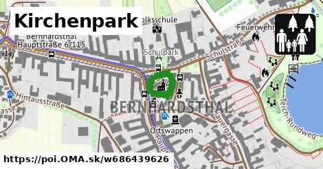
Bernhardsthal Kirche (Gemeindeamt) ¤, Bernhardsthal Kirche (Gemeindeamt) ¤, Bernhardsthal Kirche (Volksschule) ¤, Bernhardsthal Kirche (Kindergarten) ¤, Bernhardsthal Hauptstraße 6/115 ¤, Bernhardsthal Hauptstraße 6/115 ¤, Bernhardsthal Bahngasse ¤, Bernhardsthal Bahngasse ¤, Bernhardsthal Rotkreuzgasse ¤, Bernhardsthal Rotkreuzgasse ¤MHD v okolí
Bus 150: Bernhardsthal Bahnhof = > Wien Floridsdorf ¤, Bus 566: Großkrut Schulen = > Bernhardsthal Bahnhof ¤, Bus 566: Bernhardsthal Bahnhof = > Mistelbach Bahnhof ¤, Bus 560: Poysdorf Dreifaltigkeitsplatz = > Bernhardsthal Bahnhof ¤, Bus 560: Bernhardsthal Bahnhof = > Katzelsdorf im Weinviertel Ortsmitte ¤, Bus 560: Mistelbach Bahnhof = > Bernhardsthal Bahnhof ¤, Bus 560: Mistelbach Bahnhof = > Bernhardsthal Kirche (Volksschule) = > Bernhardsthal Bahnhof ¤, Bus 560: Bernhardsthal Bahnhof = > Bernhardsthal Kirche = > Poysdorf Mittelschule = > Mistelbach Bahnhof ¤, Bus 566: Mistelbach Bahnhof = > Bernhardsthal Bahnhof ¤, Bus 560: Poysdorf Volksschule = > Bernhardsthal Bahnhof ¤, Bus 566: Bernhardsthal Bahnhof = > Althöflein Ortsmitte = > Mistelbach Bahnhof ¤