MHD v okolí
Bus 550: Engelhartstetten Kirche = > Wien Aspernstraße ¤,
Bus 553: Großenzersdorf Busbahnhof = > Mühlleiten Hubertusstraße = > Orth an der Donau Gemeindeamt ¤,
Bus 553: Orth an der Donau Gemeindeamt = > Mühlleiten Hubertusstraße = > Großenzersdorf Busbahnhof ¤,
Bus 550: Engelhartstetten Volksschule = > Großenzersdorf Stadtmauer ¤,
Bus 550: Wien Aspernstraße = > Orth an der Donau Biotech Campus = > Orth an der Donau Gemeindeamt ¤,
Bus 550: Wien Aspernstraße = > Hainburg an der Donau Landesklinikum ¤,
Bus 553: Orth an der Donau Gemeindeamt = > Großenzersdorf Busbahnhof ¤,
Bus 553: Großenzersdorf Busbahnhof = > Orth an der Donau Gemeindeamt ¤,
Bus 553: Orth an der Donau Gemeindeamt = > Mühlleiten Hubertusstraße = > Großenzersdorf Stadtmauer ¤,
Bus 550: Hainburg an der Donau Landesklinikum = > Wien Aspernstraße ¤,
Bus 550: Wien Aspernstraße = > Orth an der Donau Gemeindeamt ¤Viac o bode
Viac info:
aktualizovať mapu,
uprav v JOSM (pokročilé),
423877401,
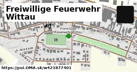
stiahni GPX, požiarna stanica, website: https://www.ffwittau.at/, building: yes, addr:city: Wittau, short name: FF Wittau, addr:street: Haidweg, addr:country: AT, addr:postcode: 2301, 6, 2022 10 01, lon: 16.599153105495688, lat: 48.18100136647593, og type: place, og locality: Gemeinde Groß Enzersdorf,
Zdroj dát
Mapové údaje pochádzajú z
www.OpenStreetMap.org, databáza je prístupná pod licenciou
ODbL.

Mapový podklad vytvára a aktualizuje
Freemap Slovakia (www.freemap.sk), šíriteľný pod licenciou CC-BY-SA. Fotky sme čerpali z galérie portálu freemap.sk, autori fotiek sú uvedení pri jednotlivých fotkách a sú šíriteľné pod licenciou CC a z wikipédie. Výškový profil trás čerpáme z
SRTM. Niečo vám chýba?
Pridajte to. Sme radi, že tvoríte slobodnú wiki mapu sveta.