MHD v okolí
Bus 275: Bruck an der Leitha Gymnasium/HAK = > Petronell Schaffelhof = > Hainburg an der Donau Landesklinikum ¤,
Bus 274: Bruck an der Leitha Bahnhof = > Hainburg an der Donau Landesklinikum ¤,
Bus 274: Hainburg an der Donau Landesklinikum = > Bruck an der Leitha Bahnhof ¤,
Bus 275: Hainburg an der Donau Landesklinikum = > Petronell Schaffelhof = > Bruck an der Leitha Bahnhof ¤,
Bus 274: Hainburg an der Donau Hauptplatz = > Bruck an der Leitha Bahnhof ¤,
Bus 274: Bruck an der Leitha Bahnhof = > Hainburg an der Donau Ungartor/B9 ¤,
Bus 275: Hainburg an der Donau Landesklinikum = > Bad Deutsch-Altenburg Badgasse = > Petronell Schaffelhof = > Bruck an der Leitha Bahnhof (nicht über Bruck an der Leitha Eco-Plus-Park 2. Straße) ¤,
Bus 275: Petronell Anton-Widter-Straße = > Petronell Schaffelhof = > Bruck an der Leitha Neue Mittelschule (nicht über Bruck an der Leitha Eco-Plus-Park 2. Straße) ¤,
Bus 275: Bruck an der Leitha Bahnhof = > Bruck an der Leitha Eco-Plus-Park 5. Straße = > Petronell Schaffelhof = > Petronell Anton-Widter-Straße ¤,
Bus 275: Hainburg an der Donau Landesklinikum = > Petronell Schaffelhof ¤,
Bus 275: Hainburg an der Donau Josef-Maurer-Gasse = > Bad Deutsch-Altenburg Badgasse = > Petronell Schaffelhof = > Bruck an der Leitha Bahnhof ¤Hello world!
Welcome to WordPress. This is your first post. Edit or delete it, then start writing!
viacViac o bode
Viac info:
aktualizovať mapu,
uprav v JOSM (pokročilé),
313782247,
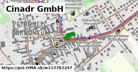
stiahni GPX, craft: plumber, website: https://www.cinadr.at, building: commercial, addr:street: Hauptplatz, addr:postcode: 2404, 11, lon: 16.868559913531023, lat: 48.113769850642626, og type: place, og locality: Gemeinde Petronell Carnuntum,
Zdroj dát
Mapové údaje pochádzajú z
www.OpenStreetMap.org, databáza je prístupná pod licenciou
ODbL.

Mapový podklad vytvára a aktualizuje
Freemap Slovakia (www.freemap.sk), šíriteľný pod licenciou CC-BY-SA. Fotky sme čerpali z galérie portálu freemap.sk, autori fotiek sú uvedení pri jednotlivých fotkách a sú šíriteľné pod licenciou CC a z wikipédie. Výškový profil trás čerpáme z
SRTM. Niečo vám chýba?
Pridajte to. Sme radi, že tvoríte slobodnú wiki mapu sveta.