MHD v okolí
Bus 552: Stopfenreuth Uferstraße = > Orth an der Donau Biotech Campus = > Groß-Enzersdorf Busbahnhof ¤,
Bus 552: Stopfenreuth Uferstraße = > Großenzersdorf Stadtmauer ¤,
Bus 552: Orth an der Donau Gemeindeamt = > Großenzersdorf Busbahnhof ¤,
Bus 552: Groß-Enzersdorf Stadtmauer = > Stopfenreuth Uferstraße ¤,
Bus 552: Groß-Enzersdorf Stadtmauer = > Orth an der Donau Gemeindeamt ¤,
Bus 552: Stopfenreuth Uferstraße = > Großenzersdorf Busbahnhof ¤,
Bus 552: Franzensdorf Ortsmitte = > Oberhausen Volksschule ¤,
Bus 552: Oberhausen Volksschule = > Franzensdorf Ortsmitte ¤,
Bus 552: Groß-Enzersdorf Busbahnhof = > Orth an der Donau Gemeindeamt ¤,
Bus 552: Stopfenreuth Uferstraße = > Wien Aspernstraße ¤,
Bus 552: Groß-Enzersdorf Busbahnhof = > Stopfenreuth Uferstraße ¤Viac o bode
Viac info:
aktualizovať mapu,
uprav v JOSM (pokročilé),
30201032,
stiahni GPX,
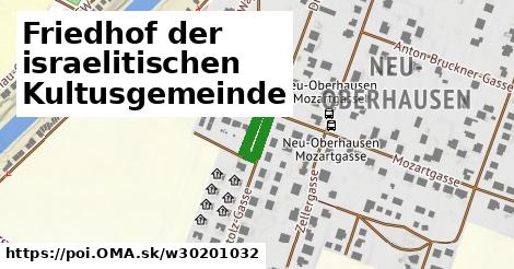
wikidata, cintorín, alt name: Friedhof israelitisch, heritage: 2, religion: jewish, wikipedia: de:Jüdischer Friedhof Groß Enzersdorf, ref:at:bda: 114997, start date: 1889, bda, lon: 16.57156164426796, lat: 48.19680564619344, og type: place, og locality: Gemeinde Groß Enzersdorf,
Zdroj dát
Mapové údaje pochádzajú z
www.OpenStreetMap.org, databáza je prístupná pod licenciou
ODbL.

Mapový podklad vytvára a aktualizuje
Freemap Slovakia (www.freemap.sk), šíriteľný pod licenciou CC-BY-SA. Fotky sme čerpali z galérie portálu freemap.sk, autori fotiek sú uvedení pri jednotlivých fotkách a sú šíriteľné pod licenciou CC a z wikipédie. Výškový profil trás čerpáme z
SRTM. Niečo vám chýba?
Pridajte to. Sme radi, že tvoríte slobodnú wiki mapu sveta.